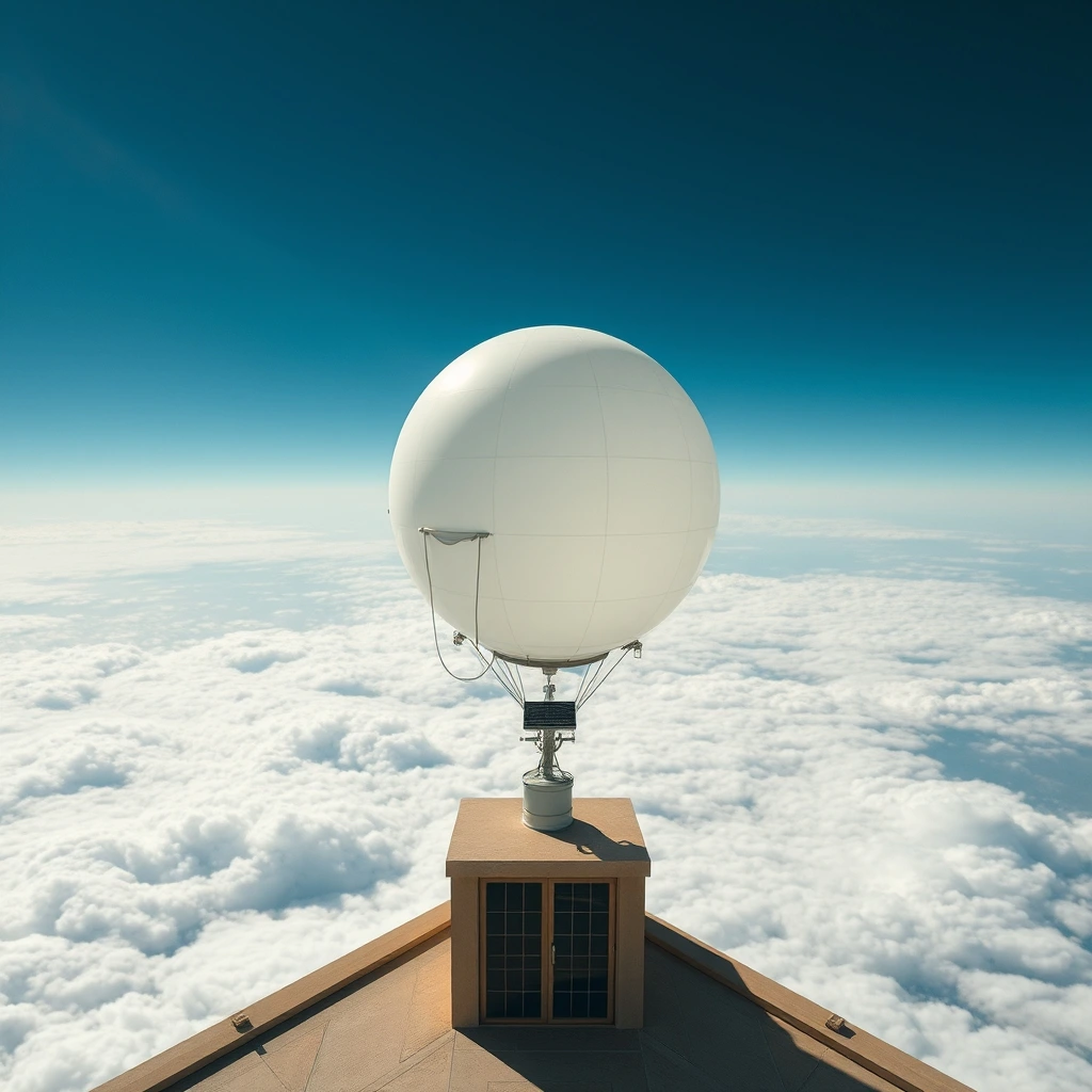
- The Pentagon's Blind Spot: Over 80% of Earth's atmosphere lacks live in-situ sensor data, routinely crippling precision aviation models and flight corridors.
- Autonomous Altitude Control: WindBorne's miniature balloons do not just drift; they alter their buoyancy on command to ride prevailing winds across thousands of miles.
- Radical Cost Asymmetry: A disposable constellation of ultra-light balloons generates denser vertical profiles than multi-billion-dollar orbital hardware.
Satellites see clouds. Balloons feel the wind. For decades, modern aviation treated that distinction as an inconvenient technical quirk, assuming orbital optics and radar sweeps would eventually render physical weather balloons obsolete. That gamble failed. Today, modern strike aircraft, transport wings, and autonomous drone fleets still crash into unpredictable low-altitude wind shears and high-altitude microbursts because satellite models guess what the air is doing instead of measuring it directly.
Now the military is writing checks to fix the gap. WindBorne Systems, a Silicon Valley startup founded out of Stanford, recently secured a multi-million-dollar Phase III Small Business Innovation Research (SBIR) contract from the US Air Force. The mandate is straightforward: fly lightweight, long-duration atmospheric balloons across planetary data deserts and pump live meteorological profiles straight into military decision pipelines.
The Data Desert Haunting Military Flight Lines
Here is what nobody tells you about global weather maps: they are mostly educated fiction. While civilian forecasts look polished on a smartphone screen, numerical weather prediction over open oceans, the polar caps, and vast swaths of the Southern Hemisphere relies heavily on statistical extrapolation. Traditional weather stations sit on dry land. Ships provide scattered ocean surface snapshots. Commercial airliners log flight levels, but only along congested commercial lanes.
Every standard weather balloon launched by national meteorological services flies up, pops at 100,000 feet, and drops to earth in about two hours. Total operational lifespan: 120 minutes. That means vast oceanic expanses receive zero vertical sounding data for weeks on end.
For the Air Force, that missing data is an operational hazard. Unpredictable high-altitude jet streams burn precious fuel on long-range logistics missions. Rapid cloud deck formation scrambles tactical strike targeting. Even advanced drone platforms operate within narrow temperature and wind envelopes. If the weather model misses a localized pressure drop by fifty miles, an entire sortie gets grounded.
Surviving the Jet Stream: Autonomous Buoyancy Control
How did WindBorne pull this off? They ditched the traditional burst-and-burn approach. Conventional balloons rely on sheer latex tension; they expand until the rubber gives out. WindBorne’s Global Sounding Balloons use specialized envelopes engineered to maintain integrity across wild temperature swings, staying airborne for weeks rather than minutes.
More importantly, they can navigate. They do not carry heavy electric props or roaring thrusters. Instead, they shift internal ballast and adjust their buoyancy to ascend or descend into different horizontal wind currents. If the flight computer wants to drift east, it dips into an easterly jet stream. If it needs to stay put over an ocean corridor, it steps between counter-flowing layers of the troposphere.
Each craft carries an ultra-miniaturized sensor payload weighing less than a can of soda. As it glides through the air, it gathers continuous readings:
- Barometric pressure at dynamic operational flight levels
- Precise ambient humidity and moisture gradients
- Multi-axis temperature profiles
- Real-time GPS drift vectoring to compute exact wind shear and turbulence
By repeatedly cycling up and down through the atmosphere, a single WindBorne balloon executes dozens of vertical atmospheric soundings across a single multi-week mission. It does the work of thirty conventional launch crews while riding the wind for thousands of nautical miles.
| Capability | Traditional Radiosonde | Earth Observation Satellite | WindBorne Smart Balloon |
|---|---|---|---|
| Flight Duration | ~2 hours | 5 to 10 years | Several weeks |
| Measurement Type | Direct (Physical sensor) | Indirect (Infrared/radiometry) | Direct (Physical sensor) |
| Cost per Sounding | High ($300-$500 each) | Astronomical ($500M+ per launch) | Fraction of traditional costs |
| Coverage Flexibility | Fixed terrestrial stations | Rigid orbital tracks | Dynamic drift into remote hotspots |
| Oceanic Data Density | Virtually nonexistent | Coarse vertical resolution | Continuous vertical sampling |
Why the Pentagon Needs Physical Soundings Right Now
Let's be candid about the timing of this defense contract. Geopolitical tension in the Indo-Pacific has forced Pentagon planners to face an uncomfortable reality: the Pacific Ocean is a massive meteorological void. If a conflict breaks out, whoever understands the atmospheric conditions over that oceanic expanse owns the tactical advantage.
Stealth aircraft depend heavily on contrail-avoidance routing. Contrails form based on narrow temperature and relative humidity bands; fly two thousand feet higher or lower, and a visible signature disappears. Satellites cannot provide that level of granular vertical resolution with reliable fidelity. WindBorne's floating arrays can.
Furthermore, hypersonic flight research demands hyper-accurate density and temperature mapping in the upper stratosphere. High-speed weapons experience violent aerodynamic shifts when encountering unexpected thermal pockets. Feeding empirical, direct sensor data into high-altitude flight control computers eliminates catastrophic trajectory drift.
Do not confuse low-tech hardware with low-tech systems. The real intellectual property in modern balloon intelligence lies in predictive drift routing algorithms and machine-learning-assisted assimilation pipelines that turn raw sensor pings into structured inputs for military weather models like GALWEM.
The Spillover Effect on Commercial Tech and Climate
Military contracts usually serve as launchpads for broader commercial dominance, and this agreement is no different. The data infrastructure WindBorne is refining for the US Air Force directly impacts global climate modeling and commercial logistics.
Container shipping lines burn millions in excess diesel navigating around storms that are smaller or weaker than satellite-based models predict. Renewable energy grids struggle to anticipate sudden wind drop-offs that stall offshore turbines. Insurance syndicates routinely misprice hurricane landfalls because tropical depressions gather strength over unmonitored ocean pockets.
By scaling out a distributed airborne sensor web funded by defense capital, WindBorne is simultaneously building the world's densest proprietary meteorological dataset. The Air Force gets high-resolution battle-space awareness. Private logistics, insurance underwriters, and civil aviation get forecasts that finally reflect physical reality rather than algorithmic guesses.
Frequently Asked Questions
Why can't high-resolution satellites provide this atmospheric data?
Satellites look down through the entire atmospheric column using radiometers and optical sensors. While they excel at tracking cloud shapes and surface temperatures, they struggle to resolve precise, local variations in pressure, humidity, and micro-scale wind turbulence hidden beneath cloud cover. Physical balloons measure the actual air molecules touching their instruments.
Are these balloons vulnerable to detection or shoot-downs like Chinese surveillance craft?
No. These systems carry payloads smaller than a standard coffee mug and weigh negligible fractions of heavy surveillance rigs. They have tiny radar cross-sections, carry zero optical imaging hardware, and drift safely above civilian flight paths while gathering pure atmospheric fluid dynamics.
How does the Air Force ingest this data?
WindBorne transmits real-time telemetry over satellite networks directly into military forecasting software suites, including the Global Air Force Weather Enterprise Model (GALWEM). The data integrates alongside existing orbital and ground-based feeds to sharpen predictive tactical grids.